Cal Fire’s New Fire Hazard Map Expands Very High Zones Across Lake County, Local Officials Express Concern
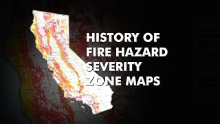
Cal Fire has released a new fire hazard severity zone map that significantly expands the areas designated as 'very high' fire hazard zones across Lake County, California. This development has raised concerns among local officials who fear the implications for residents and the region's fire management strategies.
The updated map, which reflects an increased risk due to climate change and historical fire data, now classifies a larger portion of Lake County under the very high fire hazard category. This classification means stricter building codes and higher insurance rates for residents within these zones, prompting worries about affordability and the potential for increased bureaucratic hurdles.
Lake County Supervisor Jose Luis Valdez expressed his apprehension, stating, 'The expansion of these zones will place a significant burden on our community, especially those who are already struggling financially. We need to find a balance between safety and the economic realities of our residents.'
The new zones include areas that were previously considered at moderate risk, reflecting the growing threat of wildfires in the state. Cal Fire officials emphasize that these changes are necessary to better prepare for and mitigate the impacts of future fires, particularly in light of the devastating wildfires California has experienced in recent years.
Local fire departments and emergency services are now tasked with revising their response plans and community outreach programs to address the heightened risks. Meanwhile, residents are urged to take proactive measures to protect their properties, such as clearing vegetation and creating defensible spaces around their homes.
The debate over the new map highlights the ongoing challenge of balancing safety with the economic and social impacts on communities in high-risk fire areas. As Lake County navigates these changes, the conversation continues on how best to support its residents while effectively managing the threat of wildfires.