State Releases New Fire Maps for Southern California: Understanding Their Importance
The state of California has recently released new fire maps specifically designed for Southern California, aiming to enhance wildfire preparedness and response strategies across the region. These maps are critical tools for residents, emergency services, and policymakers as they provide detailed insights into potential wildfire risks and zones that require heightened vigilance.
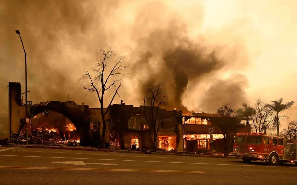
The release of these maps comes at a crucial time as the state continues to grapple with the increasing frequency and intensity of wildfires. According to officials, the updated maps incorporate the latest data on vegetation, topography, and historical fire patterns, making them more accurate and useful for planning and mitigation efforts. The maps are expected to help in identifying high-risk areas, thereby guiding land-use decisions and improving emergency response protocols.
Residents of Southern California are encouraged to familiarize themselves with these maps to better understand the risks associated with their properties. Local fire departments and state agencies are organizing workshops and informational sessions to educate the public on how to use these maps effectively. These sessions will cover topics such as creating defensible spaces around homes, evacuation planning, and the importance of community preparedness.
The initiative to update and distribute these fire maps reflects a broader commitment by the state to tackle the wildfire crisis head-on. By providing residents with the necessary tools and information, California aims to reduce the devastating impact of wildfires on communities and the environment.
