New Fire Maps Reveal Nearly 4 Million Californians in Wildfire Hazard Zones
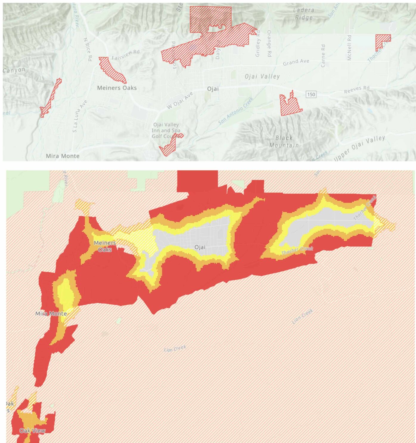
Newly released fire hazard maps have placed nearly 4 million Californians in areas designated as high-risk for wildfires, sparking concerns about safety and insurance policies. The updated maps, which cover regions from Los Angeles to the Ojai Valley, indicate a significant increase in areas classified as 'very high' hazard zones. This development has raised questions about the implications for residents living in these newly identified danger areas.
According to reports from The Independent and the Los Angeles Times, the new classifications could affect property values and insurance rates. Homeowners in these zones may face higher premiums or even difficulties in securing coverage. The Ojai Valley News highlighted specific areas within the valley that are now marked as very high hazard, prompting local government to reassess emergency response plans and community preparedness.
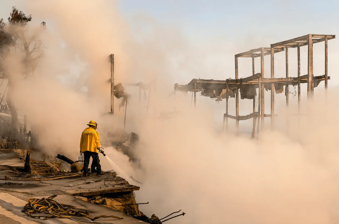
The Cooldown reported that the situation in Los Angeles is particularly concerning, with many residents unaware of their new risk status. This has led to calls for better public education and more robust fire prevention measures. As California continues to grapple with the effects of climate change, these maps serve as a stark reminder of the growing threat of wildfires and the need for proactive measures to protect communities.
Detailed News about CAL FIRE