Stormy Skies Ahead: Will Florida’s Dry Spell Finally Break?
As Central Florida braces for a potential shift in weather patterns, residents are left wondering if relief from a parched April is on the horizon. After weeks of drought-like conditions increasing fire risks, meteorologists are forecasting strong thunderstorms that could bring much-needed rain—but not without hazards. This development highlights the unpredictable nature of Florida's climate, where dry spells can quickly turn into stormy challenges, impacting daily life and safety across the region.
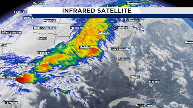
The forecast paints a picture of dramatic change, drawing from recent updates by weather experts. According to the Climate Prediction Center, Florida is expected to see above-average rainfall in May, a welcome turnaround from the bone-dry conditions of April that led to excessive drought and widespread brush fires. David Nazario, a meteorologist with WKMG ClickOrlando, explains that a incoming trough and cold front will act as the catalyst for these storms, potentially igniting heavy rains and lightning as early as Sunday morning. "This system has already spawned confirmed tornadoes in its path," Nazario notes, emphasizing the front's role in disrupting the dominant ridging that has kept the area dry.

Comparisons across reports reveal a consistent threat level. The First Warning Weather Team from WESH 2 predicts impact weather starting around 1 p.m. on Sunday, with storms likely affecting areas east of I-4 toward the Atlantic Coast. Risks include 60 mph winds, hail, flooding, and even isolated tornadoes, mirroring alerts from CBS News Miami for both Sunday and Monday. Marquise Meda, another meteorologist, warns that while the energy from the frontal boundary could bring rogue spinups in counties like Marion, Sumter, Lake, Flagler, Volusia, and Brevard, the overall scenario isn't expected to escalate to widespread tornado activity—offering a sigh of relief for many. However, the interaction of sea breezes with these systems could lead to brief, intense downpours, potentially causing minor street flooding in urban areas.
Analysis of the data underscores the broader implications. Florida's weather rollercoaster—violent storms in March followed by arid conditions in April—highlights the state's vulnerability to climate variability. While the incoming rains could alleviate drought, experts caution against complacency. Hail and gusty winds pose threats to infrastructure, and the low but present risk of tornadoes calls for vigilance. As storms drift east, residents in coastal counties should monitor updates closely, with designated weather alert days underscoring the need for preparation.

In summary, this weather shift could mark a turning point for Florida's environment, ending a dry spell but reminding us of nature's dual edge. As residents gear up for potential disruptions, the key message is preparedness: stay informed and heed warnings from trusted sources like WKMG and WESH. What do you think—will this storm system bring relief or more challenges? Share your experiences in the comments below and let's discuss how these patterns are affecting your community.