Is Southern California Bracing for a Sizzling Weekend Surprise?
Southern California is gearing up for an unexpected twist in the weather this weekend, as temperatures soar to potentially record-breaking levels. After weeks of mild, cloudy conditions, residents could face a dramatic shift that highlights the growing unpredictability of climate patterns in the region. This sudden heatwave not only challenges daily routines but also raises concerns about health risks and environmental impacts amid ongoing discussions on climate change.
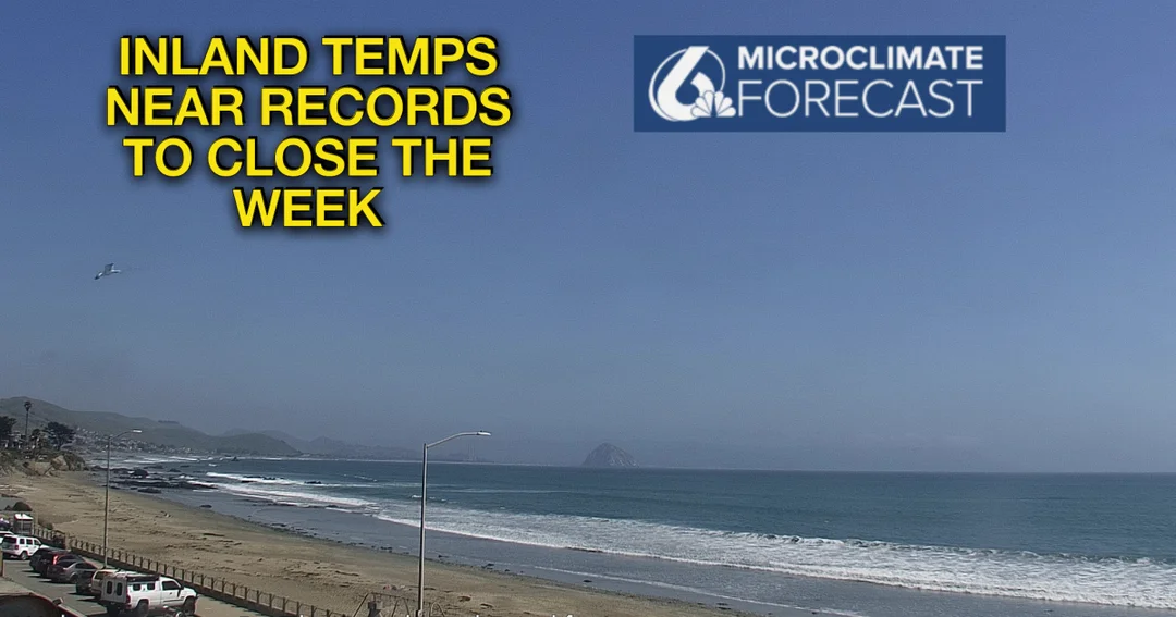
According to forecasts from the National Weather Service (NWS), a high-pressure system is set to blanket the area, pushing temperatures 10 to 20 degrees above normal for early May. In Los Angeles County, coastal areas like Torrance and Santa Monica may see highs in the mid-70s, while inland regions such as the San Fernando and San Gabriel valleys could climb into the 90s and even approach 100 degrees by Saturday. Meteorologist Rose Schoenfeld from the NWS Oxnard office noted, "We’re going to have a pretty dramatic shift here," emphasizing how this weekend's warmth will be 10 to 20 degrees hotter than typical for the season. Specific spots like Woodland Hills might hit 99 degrees, and Pasadena is projected to reach 93 degrees, potentially challenging local records.

This heat surge, as detailed in multiple NWS reports, builds through Friday and peaks on Saturday before a rapid cool-down begins. The Central Coast and Orange County areas, including Anaheim at 94 degrees and Irvine at 87 degrees, will also feel the intensity, with the Inland Empire regions like Riverside potentially soaring to 98 degrees. Compared to recent cloudy and drizzly days, this abrupt change underscores the variability of Southern California's microclimates. Experts warn that while no heat advisory has been issued yet, residents should limit outdoor activities during peak afternoon hours and stay hydrated to mitigate risks. The NWS highlights that factors like reduced marine layer influence are amplifying the heat, making this event a stark reminder of how weather extremes can evolve quickly.
However, the reprieve won't be far off. By Sunday, temperatures are expected to drop 4 to 8 degrees as an upper-level low-pressure system moves in from the Pacific Northwest, ushering in cooler air, increased cloud cover, and possibly gusty winds. By Tuesday, highs in Pasadena could plummet to the 60s, about 4 to 8 degrees below normal, with coastal fog returning and little chance of clearing. This yo-yo effect in weather patterns not only disrupts plans—like those for Mother's Day—but also prompts analysis on broader environmental trends, such as the influence of climate change on seasonal shifts. While the exact timeline aligns with the provided forecasts, it's a compelling example of how rapid atmospheric changes can affect everything from public health to local economies.
In summary, this weekend's heatwave in Southern California serves as a timely reminder of the region's vulnerability to extreme weather, potentially signaling larger climate shifts. What does this mean for future seasons? Will we see more of these sudden spikes? Share your thoughts in the comments below, and don't forget to spread the word by sharing this article—your insights could help others prepare.