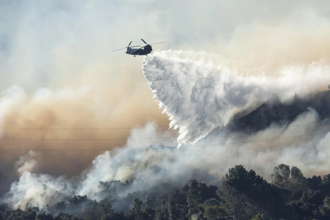
Cal Fire Unveils New Fire Hazard Maps for Central California, LA Next
In a significant move towards enhancing wildfire safety and preparedness, the California Department of Forestry and Fire Protection (Cal Fire) has recently unveiled new fire hazard severity maps for Central California. This development marks a crucial step in the state's ongoing efforts to mitigate the risks posed by wildfires, a growing concern amid increasing climate change impacts.
The new maps, which are part of a broader initiative to update fire hazard assessments across the state, are designed to provide more accurate and detailed information on areas at risk of wildfires. Central California, including counties like Fresno, Kern, and Tulare, are the first regions to benefit from this updated assessment. According to Cal Fire officials, these maps will serve as essential tools for both the public and policymakers in planning and implementing wildfire prevention and response strategies.
The release of these maps comes at a time when California has been grappling with increasingly severe wildfire seasons. The state has witnessed devastating fires in recent years, prompting a reevaluation of its fire management and prevention strategies. The updated maps for Central California are a testament to the state's commitment to using the latest data and technology to enhance its wildfire readiness.
Looking ahead, Los Angeles County is next in line to receive its updated fire hazard severity map. The anticipation around the LA map is high, given the county's history of destructive wildfires. Cal Fire's ongoing project to update fire hazard maps statewide is a clear indication of the state's proactive approach to tackling one of its most pressing environmental challenges.