Cal Fire Releases Updated Wildfire Hazard Maps for California
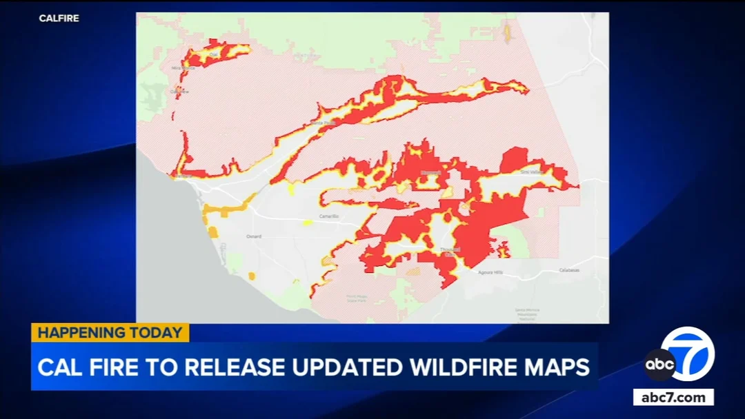
Cal Fire has recently released updated wildfire hazard maps for California, aiming to enhance public safety and preparedness against potential wildfires. The new maps, which were updated in early 2025, provide detailed insights into fire hazard zones across the state, particularly focusing on Southern California counties. These updates are crucial for residents and local governments to understand their risk levels and take necessary precautions.
The updated maps incorporate the latest data on vegetation, terrain, and weather patterns, offering a more accurate representation of areas prone to wildfires. This information is vital for planning evacuations, implementing fire prevention strategies, and guiding land-use decisions. Homeowners in high-risk areas are encouraged to review these maps and consider implementing fire-resistant measures around their properties.
The release of these maps comes at a time when California continues to experience significant wildfire activity, underscoring the importance of proactive measures to mitigate risks. Cal Fire's efforts in updating these hazard maps reflect a commitment to improving wildfire safety and resilience across the state.