Cal Fire Releases Updated Wildfire Hazard Maps for Southern California
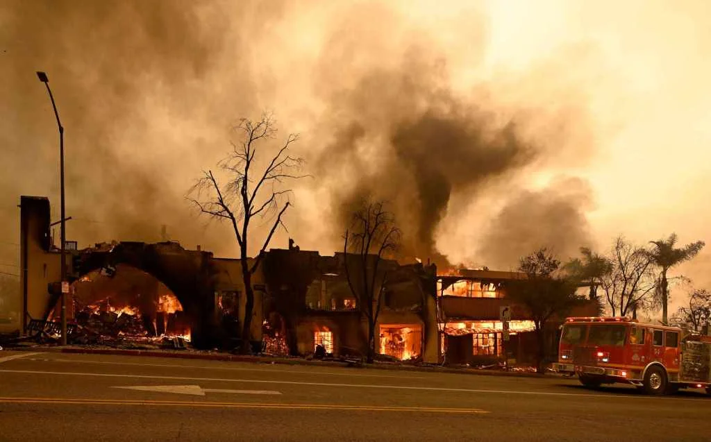
Cal Fire has released updated wildfire hazard maps for various counties in Southern California, aiming to enhance public safety by providing critical information on fire risks. The new maps, which include detailed assessments for regions such as Los Angeles, Pasadena, and Lincoln, are designed to help residents and local authorities better prepare for and mitigate the impacts of wildfires.
The updated maps reflect changes in vegetation, weather patterns, and topography, which are crucial factors in determining fire risk. These maps are part of Cal Fire's ongoing efforts to improve its Fire Hazard Severity Zone (FHSZ) mapping system, which helps guide land-use planning and building codes to reduce fire hazards.
Residents in the affected areas are encouraged to review the new maps and take necessary precautions, such as creating defensible spaces around their homes and developing evacuation plans. The release of these maps comes at a time when California continues to face significant wildfire challenges, underscored by the need for accurate and up-to-date information to protect communities.