California Updates Fire Hazard Maps to Enhance Wildfire Preparedness
California's fire hazard severity maps are being updated to improve wildfire preparedness across the state. The California Department of Forestry and Fire Protection (Cal Fire) has recently released new maps for Central California, with Los Angeles and Sacramento areas next in line. These updates aim to better reflect the current wildfire risks and help communities plan more effectively for fire safety.
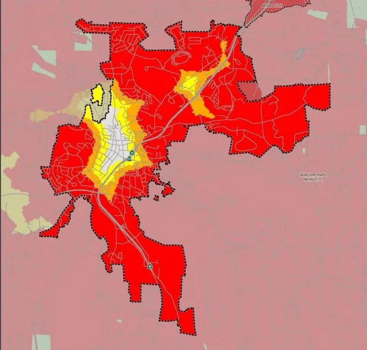
The new maps indicate a heightened level of fire hazard in several regions, including Grass Valley, where residents can now view the updated Fire Hazard Severity Zone Map. This initiative is part of a broader effort to enhance public safety by providing accurate and current information about fire risks.
The updated maps are crucial for local governments and residents to understand their vulnerability to wildfires. They will influence building codes, land-use planning, and emergency response strategies. As California continues to experience severe wildfires, these maps are an essential tool in the state's arsenal against this growing threat.