California’s Sinking Land: A Pacific Threat Highlighted by NASA
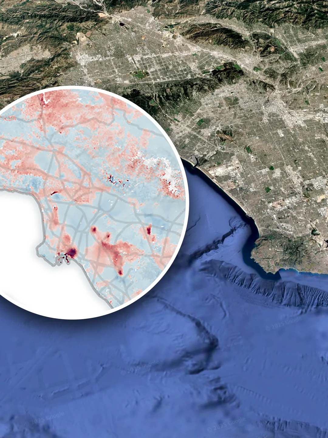
In a groundbreaking revelation, NASA has brought attention to a concerning environmental issue affecting California: the state's land is sinking at an alarming rate. This phenomenon, known as subsidence, is particularly pronounced in the Central Valley, where the ground has been observed to descend at rates of up to 2 inches per month. The findings, detailed in a recent study published by the space agency, highlight the severity of the situation and its potential to exacerbate flooding risks along the Pacific coastline.
The sinking land is primarily attributed to the excessive extraction of groundwater, a practice that has intensified during periods of drought. As water is pulled from the earth, the soil compacts, leading to the ground's subsidence. This not only affects the structural integrity of buildings and infrastructure but also contributes to the rising sea levels' impact on the coastal areas. NASA's satellite data, which meticulously tracks land elevation changes, has been instrumental in monitoring this environmental challenge.
California's government and local authorities are now faced with the urgent task of addressing this issue. Strategies being considered include the replenishment of groundwater reserves, stricter regulations on water usage, and the development of infrastructure that can adapt to the changing landscape. The situation serves as a stark reminder of the interconnectedness of human activities and environmental health, urging a more sustainable approach to resource management.
This NASA study not only underscores the immediate threats to California but also serves as a warning to other regions facing similar issues. As climate change continues to influence global water patterns, the need for comprehensive monitoring and proactive measures becomes increasingly critical.
