California’s Unprecedented Snowfall: A Visual Journey
California has been blanketed by an extraordinary amount of snow this year, setting records and transforming the state's landscape in ways not seen in recent memory. The San Francisco Chronicle has released a detailed series of maps and visuals that chronicle this historic snowfall, offering a comprehensive look at the impact across various regions of California.
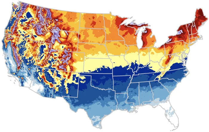
The visuals not only highlight the sheer volume of snow but also illustrate how different areas have been affected. From the towering peaks of the Sierra Nevada to the unexpected snowfalls in typically warmer valleys, these maps provide a stark visualization of the state's winter transformation. The data shows accumulations reaching unprecedented levels, with some regions experiencing snow depths that have surpassed historical records.
This unusual weather phenomenon has had significant implications for the state's residents and infrastructure. Roads have been closed, power outages have become common, and communities have been cut off, necessitating emergency responses and aid. The heavy snowfall has also raised concerns about potential flooding as warmer temperatures approach and the snow begins to melt.
Experts attribute this year's extreme weather to a combination of factors, including a strong El Niño pattern and the broader impacts of climate change. These maps not only serve as a record of this year's events but also as a reminder of the changing climate patterns affecting California and the broader United States.