Is a Late-Season Storm Set to Upend California’s Spring Weather?
A late-season storm is making an unexpected appearance in California, bringing rain, thunderstorms, and even snow to various regions just as spring seems to settle in. This unusual weather system highlights the unpredictable nature of California's climate, potentially disrupting outdoor activities and travel plans across the state. With meteorologists warning of its impacts, residents are left wondering how this could affect daily life and what it means for the broader environmental trends in the Golden State.
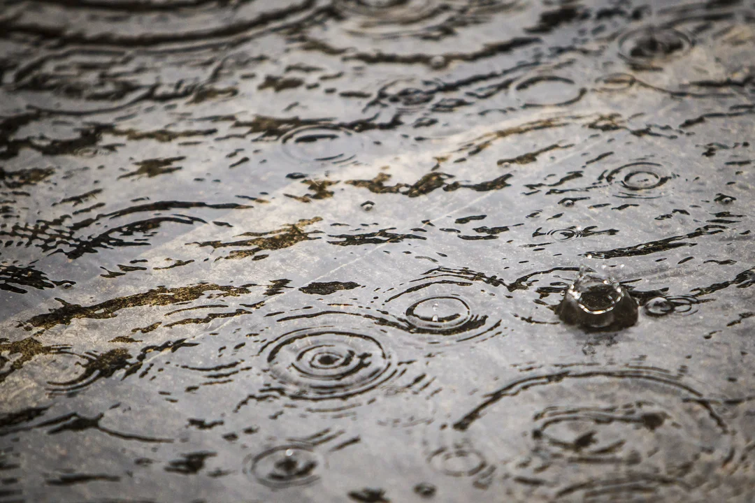
This storm, a cut-off low pressure system lingering off the coast, is expected to deliver scattered precipitation starting Friday and continuing into Saturday. Unlike typical spring storms that fizzle out quickly, this one is fueled by an unusually cold air mass aloft, making it more potent than anticipated. As detailed in recent forecasts from sources like AccuWeather and KCRA 3, the system's southward track means areas like the Central Coast and Southern California will bear the brunt, with rainfall totals ranging from 0.25 to 0.75 inches in some spots. This is significant, especially for Southern California, where Los Angeles has seen barely a trace of rain this April, falling short of the historical average of 0.60 inches.
In the Central Coast, from Big Sur to San Luis Obispo, the storm arrives in phases: light showers early Friday, followed by more organized rain late Friday night and into Saturday. The rugged terrain could squeeze out heavy bursts, leading to localized flooding risks. Moving inland, the Central Valley faces threats from isolated thunderstorms, with potential for heavy downpours, small hail, and lightning, as noted by Meteorologist Dirk Verdoorn. He predicts scattered activity, emphasizing that while not widespread, these storms could create significant localized impacts, particularly in the northern Sacramento Valley.
Southern California, including Los Angeles and San Diego, might see the most notable effects, with showers ramping up late Friday and peaking on Saturday. AccuWeather's Senior Meteorologist Chad Merrill pointed out that any thunderstorms could bring gusty winds up to 40 mph and hail, posing risks for outdoor events. Up in the Sierra Nevada, snow levels could drop to around 5,500 feet, leading to a slushy 1-2 inches of accumulation on passes like Donner Pass. This has prompted KCRA 3 to issue an Impact Day alert for the Sierra, advising caution for travelers due to slippery conditions.
Comparatively, the Bay Area may dodge the worst, with only light showers possible south of the Golden Gate, keeping totals under 0.10 inches. This storm's slow movement, detached from the main jet stream, adds an element of unpredictability, as highlighted by experts. It's a reminder of how climate patterns can still deliver wintry surprises in late April, potentially exacerbating issues like road hazards from rain and oil residue. Looking ahead, while May typically brings drier conditions, AccuWeather's long-range forecasts suggest one more rain opportunity in early May, underscoring California's vulnerability to weather shifts amid broader climate change discussions.
In summary, this late-season storm serves as a wake-up call for Californians to stay prepared, blending routine spring weather with unexpected challenges. What does this mean for your local area—will you be stocking up on umbrellas or adjusting travel plans? Share your thoughts in the comments below, and let us know how you're bracing for the weather ahead.