
Is Southern California Facing a Weekend Weather Wildcard? Discover the Latest Forecast
Southern California, known for its sunny skies, is bracing for a surprising shift as thunderstorms, gusty winds, and light rain threaten to disrupt the weekend plans of millions. With weather patterns increasingly influenced by climate shifts, this event highlights the growing unpredictability of seasonal forecasts, impacting outdoor activities, travel, and daily life across the region.
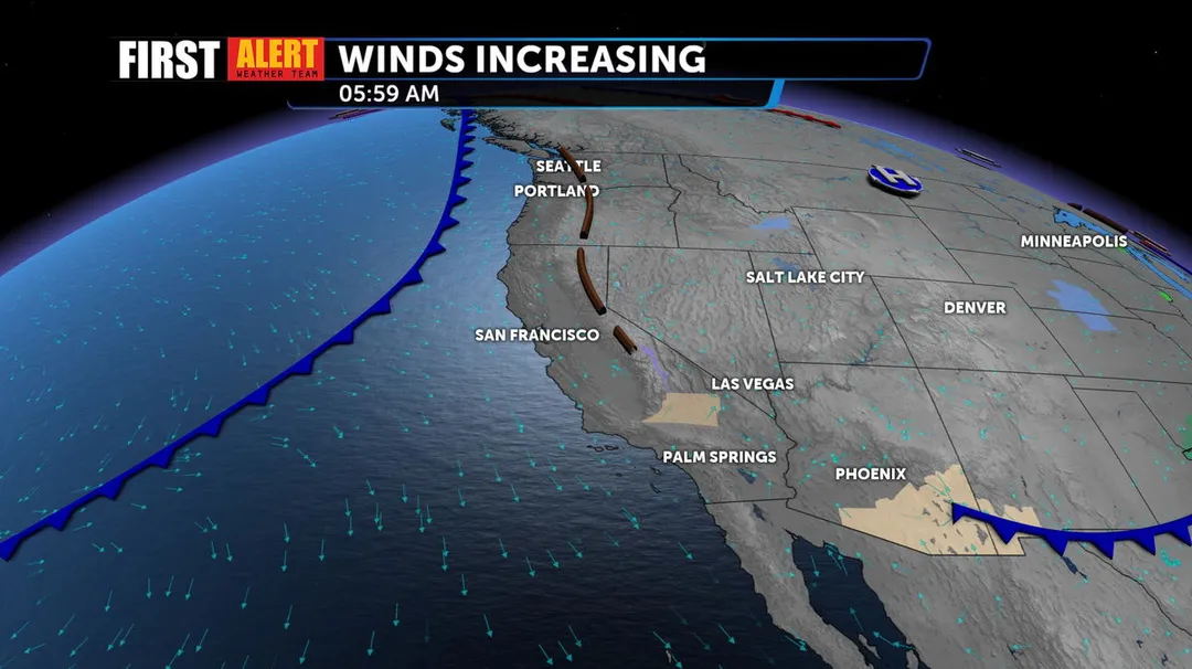
According to the National Weather Service (NWS), a low-pressure system that arrived on Thursday is set to bring instability, potentially leading to showers and thunderstorms in mountain areas. Flash flooding and debris flows are possible risks, especially in burn-scar regions of the interior mountains. This follows a relatively mild week, making the sudden change a point of concern for residents. Meanwhile, KTLA meteorologist Henry DiCarlo emphasized the wind as the 'big deal,' with gusts expected between 25 to 45 mph across mountains, deserts, and valleys, potentially affecting coastal zones as well.
Comparisons across reports show a consensus on light precipitation, with most areas expecting less than a tenth of an inch of rain, though mountain communities could see up to half an inch. Scott Handel from the federal Climate Prediction Center noted that an upper-level trough will keep temperatures cooler than normal, dipping into the 60s and 70s by Sunday—about 10 degrees below average for May. This cooling trend, he explained, stems from the storm track extending deeper into California, an unusual occurrence for this time of year. DiCarlo echoed this in his forecast, describing the storm as 'more bark than bite,' with showers likely developing Saturday night and peaking on Sunday.
In a detailed analysis, the NWS predicts snow levels dropping to around 5,500 feet, with up to five inches possible in higher elevations. Wind impacts could reach 40 mph in coastal areas, posing hazards for drivers and outdoor events. This event draws parallels to recent weather anomalies, where climate factors amplify seasonal shifts, as Handel told the San Francisco Chronicle: 'The flow is cut off from the main storm track, which is why we're seeing this kind of unsettled weather reach deeper into California than usual.' Such insights underscore the need for preparedness, especially in a region prone to weather-related disruptions.

The broader implications of this weekend's weather include minor travel delays and a reminder of environmental vulnerabilities in Southern California. As conditions improve by Monday with drier, warmer trends, residents are advised to stay informed. What does this mean for your weekend? Could these patterns signal larger climate trends?
In summary, while the storm may not be severe, it's a timely nudge for caution and adaptation. We encourage readers to share your experiences or predictions in the comments below—how is this weather affecting you, and what tips do you have for staying safe?