NASA Uses Advanced Radar to Track Groundwater in California
In a significant stride towards managing water resources more effectively, NASA has employed advanced radar technology to monitor groundwater levels in California. This initiative, crucial for a state frequently grappling with drought, utilizes data from the Soil Moisture Active Passive (SMAP) satellite to track changes in soil moisture and groundwater.
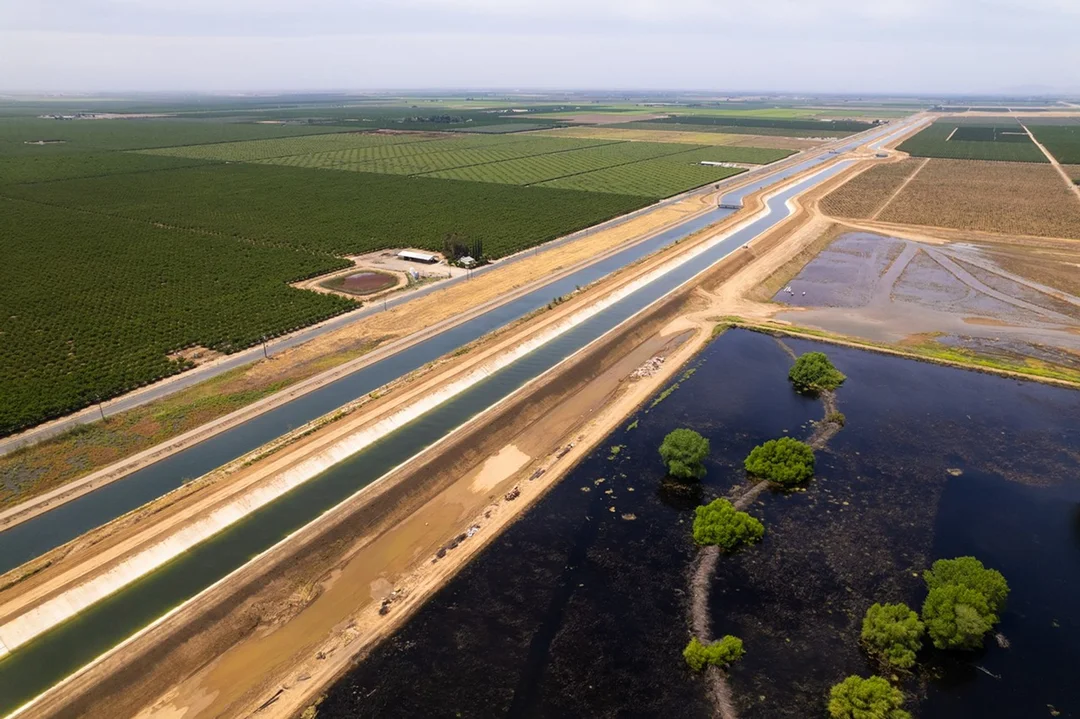
The project focuses on the Central Valley, a region pivotal to California's agriculture but also known for its severe water scarcity issues. By analyzing radar data, NASA scientists can now provide more accurate assessments of groundwater levels, helping local authorities and farmers make informed decisions about water usage and conservation.
This technology not only aids in immediate water management but also contributes to long-term planning. Understanding the dynamics of groundwater can help in predicting future shortages and in devising sustainable water policies. The use of satellite data for such purposes marks a novel approach, showcasing how space technology can be harnessed to address earthly challenges.
The implications of this project extend beyond California, offering a model for other regions worldwide facing similar water management issues. As climate change continues to affect global water supplies, initiatives like NASA's could become increasingly vital in ensuring sustainable access to this precious resource.