New Fire Hazard Maps Released for Southern California: What You Need to Know
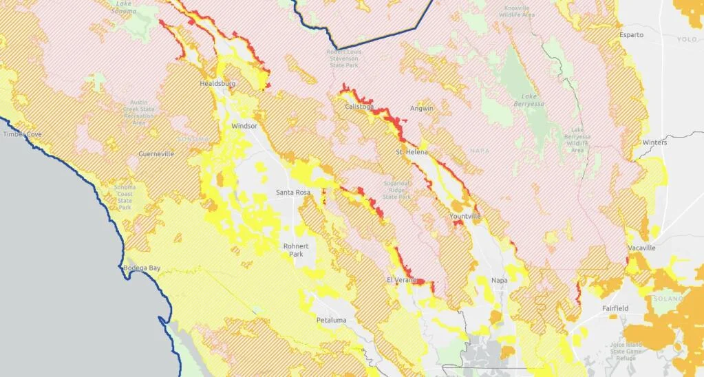
California's fire authorities have released updated fire hazard maps for Southern California, a move aimed at better informing the public and local governments about wildfire risks. These new maps, which cover areas from Monterey County to Lincoln, indicate a concerning expansion in the number of acres classified under high and very high fire hazard severity zones.
The updated maps are crucial for residents and businesses in the affected areas as they could influence insurance premiums, property values, and local building codes. According to Cal Fire, the maps are the result of comprehensive assessments of vegetation, topography, weather patterns, and historical fire data, aiming to enhance preparedness and response to wildfires.
The release of these maps comes at a time when California is still grappling with the aftermath of previous fire seasons, which have seen devastating losses. The new data suggests that the state is increasingly vulnerable to wildfires, necessitating more robust preventive measures and community awareness initiatives.
Residents are encouraged to review the new maps on the Cal Fire website to understand their level of risk and take necessary precautions. Local governments are also expected to use this information to update their emergency response plans and support initiatives aimed at reducing wildfire risks.