New Fire Hazard Maps Reveal Increased Risk Across Southern California Counties
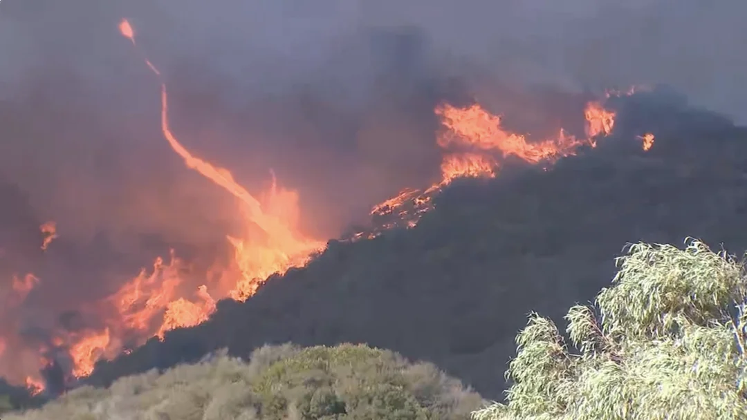
Newly released fire hazard maps for 2025 have indicated a significant increase in high-risk fire zones across several Southern California counties, including San Diego, Los Angeles, Riverside, San Bernardino, and Orange County. According to the updated maps released by Cal Fire, the majority of San Diego County now falls into high-risk fire zones, a critical alert for residents and authorities.
The new maps highlight that more land in Los Angeles County is classified under the 'Very High Fire Hazard Severity Zone,' prompting local governments and communities to reassess their wildfire preparedness strategies. The maps are part of a statewide effort to better understand and mitigate wildfire risks as climate conditions continue to evolve.
Residents in the affected areas are encouraged to take proactive measures, such as creating defensible spaces around their properties and staying informed about local fire safety protocols. The increased severity zones underscore the urgency of adapting to the growing threat of wildfires in the region.